
1 / 7


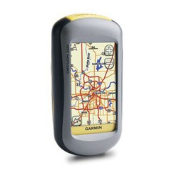
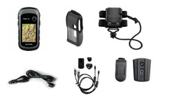
Garmin Oregon 750t GPS
Brand: Garmin
Reference: 010-01672-31
€612.39
Product sold out, not available at this time.
Next stock entry on the way, expected
Description
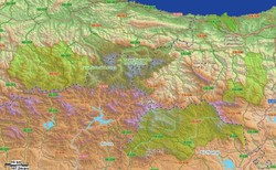
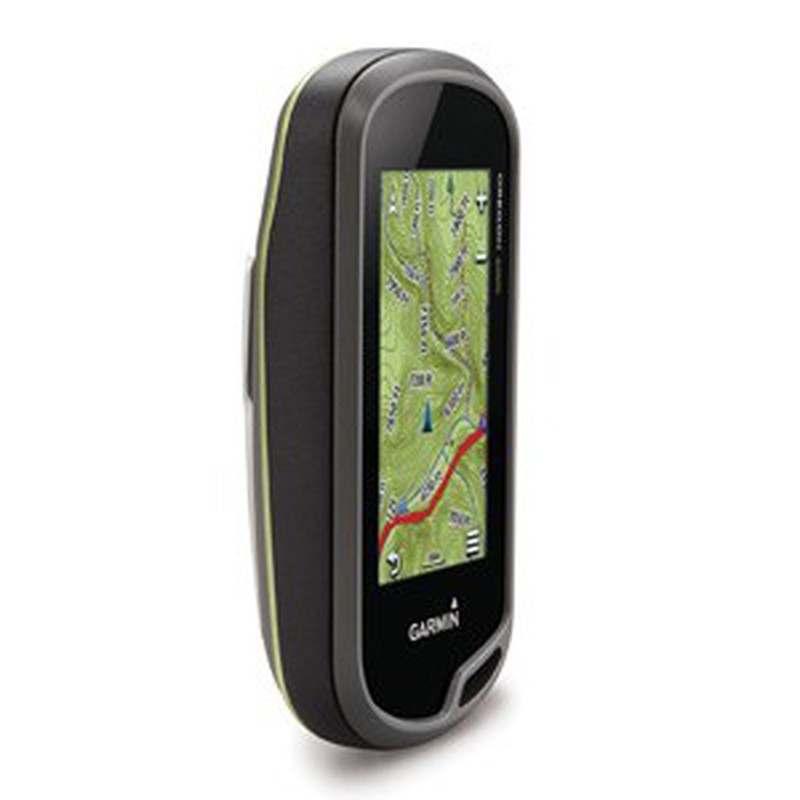
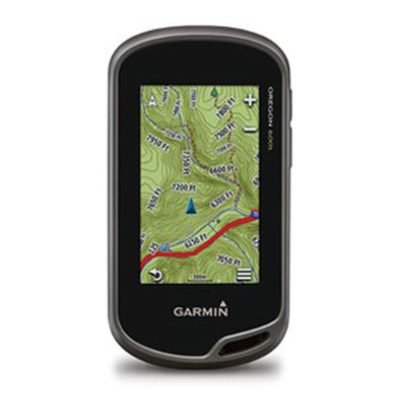
Garmin presents its Oregon series, resistant, precise and prepared devices for all outdoor activities. In this 750t model, the easy-to-see touchscreen and the quality and detail of the topographic basemaps are its highlights.
Details
More information
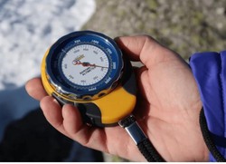
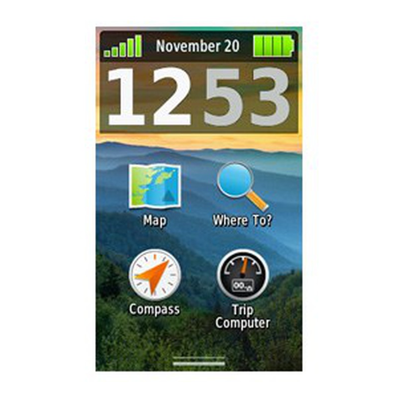
3 " touch screen for greater brightness and visibility than previous devices. Test it in difficult environments and environmental conditions!The GLONASS system allows a much more precise location, to which we must add the detail and quality of the topographic maps , already pre-installed. You can also add all the cartography you need. Use the barometric altimeter to know the altitude of your exact location or calculate the difference in altitude.
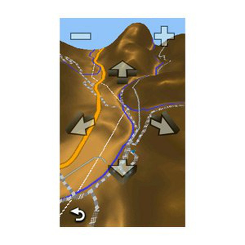
Plan your routes with GarminBaseCamp, the built-in Topo Active maps and help yourself with the compass that this GPS incorporates. Share your routes using your smartphone with the GarminBaseCamp app.
Characteristics:
Plan your routes with GarminBaseCamp, the built-in Topo Active maps and help yourself with the compass that this GPS incorporates. Share your routes using your smartphone with the GarminBaseCamp app.
Characteristics:
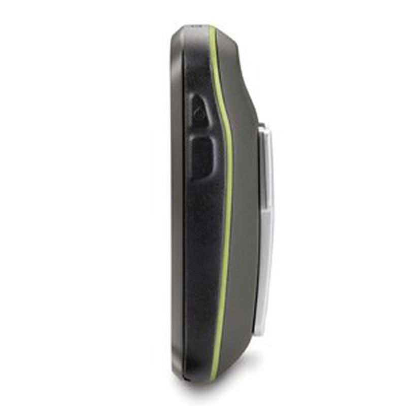
- Unit dimensions (Width / Height / Depth): 6.1 x 11.4 x 3.3 cm
- Screen size (Width / Height): 3.8 width x 6.3 cm height; 7.6 cm diagonal
- Screen resolution (Width / Height): 240 x 400 pixels
- Screen type: Transflective color TFT touch screen
- Touch screen: yes
- Weight: 209.8 g with batteries
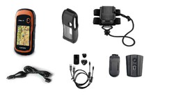
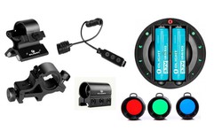
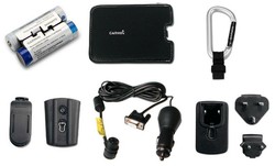
- Battery: 2 AA batteries (not included); NiMH or lithium recommended, rechargeable NiMH battery (optional)
- Battery life: 16 hours
- Water resistance classification: IPX7
- High Sensitivity Receiver: Yes
- Computer interface: Compatible with high speed USB and NMEA 0183
- Barometric altimeter: Yes
- Electronic compass: Yes (three axes with offset tilt)
- Unit-to-unit transfer (shares data wirelessly with similar units): Yes (with custom images and maps)
- Basemap: Yes
- Preloaded maps: Yes (topographic) Topo Active
- Ability to add maps: Yes
- Internal memory: 4GB
- Accepts data cards: Yes, microSD ™ card (not included)
- Customizable POIs (possibility to add additional POIs): Yes
- Waypoints: 4000
- Routes: 200
- Track log: 10,000 points, 200 saved tracks
- Automatic route creation (turn by turn on the road): Yes (with optional maps with detailed road information)
- Geocaching mode: Yes (paperless)
- Compatible custom maps: Yes
- Hunting and Fishing Calendar: Yes
- Astronomical information: Yes
- Tide Prediction: Yes (with optional BlueChart)
- Area calculation: Yes
- Image viewer: Yes
- Garmin Connect ™: Compatible with Garmin Connect ™ (online community where you can analyze, classify and share data)
Comments
There are no opinions yet Be the first to review!
Questions
No questions yet Do you have any doubt?
Best price
Have you seen it cheaper?